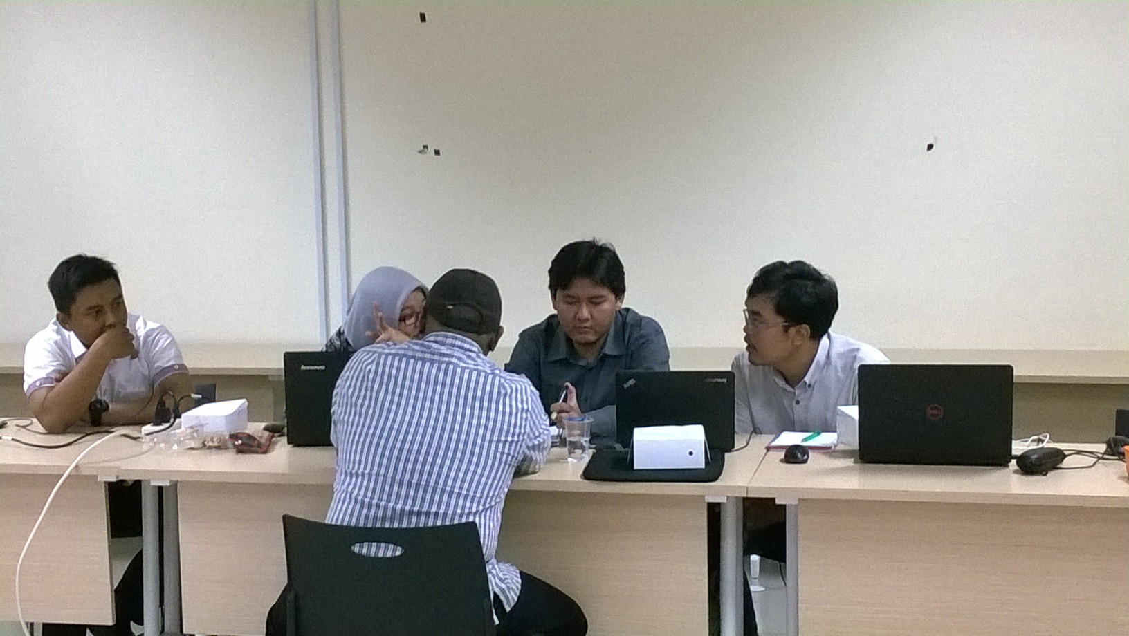
In 16-18 December 2015, HOT and DMI (Disaster Management Innovation) held training in InaDRTG. This training was held by Deputy of Prevention and Preparedness division of Community Empowerment with help from DMI and HOT. This training aim to prepare Deputy of Prevention and Preparedness’s database. 16 Participants attend this training and each participants come from Community Empowerment division ( eight people), Preparedness division (six people) and Disaster Risk Reduction division (two people).
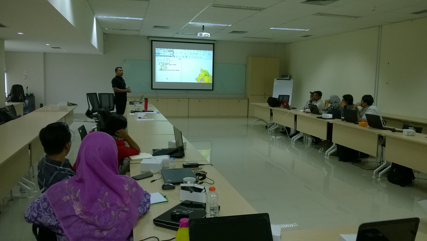
In the first day of the training began there was opening from Head of Community Empowerment division, Sigit Padmono Dewo. After that, there was focus group discussion lead by Freddy Chandra (DMI). This talk about “GIS Role in Disaster Risk Reduction” and “Deputy’s Program from each division who related to GIS”. After focus group discussion, the next session start with GIS concept, as well as QGIS and InaSAFE concept. The participants learn basic operation of QGIS such as add vector and raster, and open attribute table. In the last session of first day, participants also learn about how to operate InaSAFE and tried to run several analysis given by the facilitator, for example flood and landslide.
The second day of training began with exploring new feature in InaSAFE to download OpenStreetMap (OSM) data directly from QGIS. They tried to download OSM data near Bromo’s hazard zone area. After they had succeeded download OSM data, the participants must run InaSAFE to analyze OSM data with Bromo’s hazard zone area. From these analysis, participants told by facilitator that OSM data in those area were not completely mapped. In order to get near accurate analysis for InaSAFE, all of participants asked to map all the area near Bromo volcano with using OSM. In the next sessions, all of the participants learn about OSM, create OSM account, and exercise to digitize using JOSM. In this session, they learn tips how to map according to the basic rule in OSM and what need to avoid while mapping in OSM. After launch, all of the participant learn about tasking manager and they must digitize area near Bromo volcano using tasking manager. In the end of session, Harry (HOT) demonstrate InaSAFE analysis in the same area but using new OSM data from two hours mapping activity before. The result of that analysis showed almost 2000 buildings difference between the first analysis and with the last analysis.
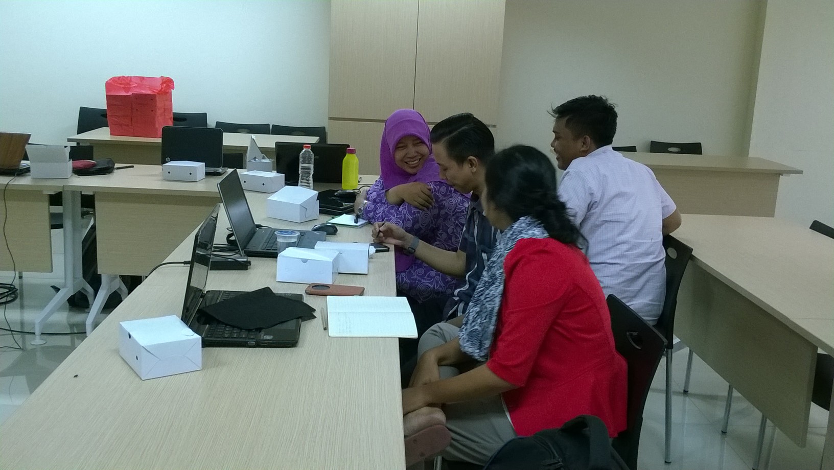
The last day training focused on exercise using QGIS and InaSAFE for disaster reduction. All of the participants asked to analyze with InaSAFE using all the data that already given to the participant in the first day of training. After they analyze it, they need to save the result layer and open the database file of result layer using spreadsheet to use pivot table in order to show the analysis result divided by administrative boundary. After lunch, participants divided by three group where each group asked to do InaSAFE analysis based on the group division (division of community empowerment, division of disaster risk reduction and division of preparedness). In the end of the day, each group must present their work and will got evaluation from facilitator.
Hopefully after this training, each participant that come from each division can operate QGIS and understand how to run InaSAFE, and also understand how to do remote maping using OpenStreetMap.