Last week marked the start of the Scenario Development for Contingency Planning workshops run by Indonesia’s National Disaster Management Agency (BNPB) and Australia through the Australia-Indonesia Facility for Disaster Reduction (AIFDR).
BNPB has identified a priority need to improve contingency planning with an emphasis on the use of realistic disaster scenarios as the starting point for this new, comprehensive process. The focus of the current workshops is for participants to understand how to develop maps that will enable them to identify areas of high impact in case of a disaster and use these maps as a basis for their contingency planning.
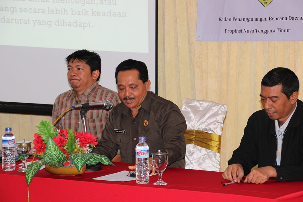
The first part of the training enables the community to map their surroundings, including important infrastructure such as hospitals, schools and government buildings. The head of East Nusa Tenggara (NTT) Local Office for Disaster Management (BPBD), Bapak Tini Tadeus opened the first workshop on Monday the 17th September 2012 in Kupang. Welcoming this initiative, Bapak Tini explained that “NTT BPBD’s duty is to plan and mitigate for disasters from the provincial to community level”. He also explained how hard it is to cover the entire region at a community level, adding that this is why crowdsourcing through OpenStreetMap is so important in preparing for disasters.
The training will take place over the next 6 months in 6 different provinces (West Sumatra, West Java, East Java, South Sulawesi, NTT and West Papua). The training has three stages; beginner consisting of 2 workshops the first is on how to map digitally (5 day course), the second is how to analysis the spatial data (3 day course). The second stage; Intermediate, is focused on developing the skills learnt in the first workshops and integrating more advanced analysis. The last stage is focused on training the trainer and will be held in Jakarta early next year.
The software used is open source and free for anyone to use and further develop. Over the last year three specific tools have been piloted in Indonesia with huge success:
• Indonesia Scenario Assessment For Emergencies (InaSAFE): free and open source software that produces realistic natural hazard impact scenarios for better planning, preparedness and response activities. InaSAFE is being developed by AIFDR in close consultation with BNPB.
• OpenStreetMap (OSM) tools: a free map of the world that anyone can add to and edit. Utilizing community mapping allows for more detailed information that can be fed into InaSAFE (i.e. How many houses will be affected by a specific hazard).
• QuantumGIS (QGIS): an open source Geographical Information System software that allows users to spatially analyse their data, it is also the platform on which InaSAFE is built.
Source: aifdr.org/index.php/improving-disaster-management-using-open-source-technology