Risk assessment workshop is the third activity and after the activity of priority areas determination for disaster mapping and making capacity and vulnerability data as well as field mapping in the priority areas. The activity aims to provide the knowledge and skill for disaster risk assessment, collecting exposure data in disaster prone areas in South Sulawesi, and utilization QGIS and InaSAFE in disaster risk assessment. This workshop is expected to provide an overview of assessment, start from preparation and data collection process to analysis and meaning the result of the disaster risk assessment.
This activity was held for 3 days from 8 to 10 June 2015 in the Swiss Belinn Hotel, Makassar. This activity was attended by 30 participants such as BPBD’s South Sulawesi, Department of Health, BMKG, Commit, and academics from Hasanuddin University, 45 University and Makassar State University. Most participants are participants who have been involved in previous activities.
The first day of activity begins at 10.00 a.m with the opening of Mr. Buttu Ma’dika as CDSP in South Sulawesi. At the opening Mr Buttu explained about the importance of disaster risk assessment activities in South Sulawesi. In addition, he also provides insight and overview to the participants about the workflow of risk assessment activity to completion.
Furthermore, the second material is delivered by Ranie Dwi Anugrah as a facilitator of HOT initial activities have accompanied most of participants. The material presented about the result of exposure mapping activity in the priority areas, especially Jeneberang watershed. The next material is complete the capacity and vulnerability data in South Sulawesi that has been processed in the first activity uses South Sulawesi Village Potential data in 2011.

The last material on the first day is an introduction to the making of hazard map by Harry Mahardhika Machmud from HOT. This introduction provides an overview to the participants about how to get hazard data and the importance of the making of hazard map in disaster risk assessment. In addition, the last activity is to equate and to collect data needed in making a hazard map to participants.
The second day activity begins at 09.00 a.m with the making of hazard map where there are two hazard that will be created is Flood Hazard Map and Drought Hazard Map. Before the making of hazard map, the participants together with the facilitator to agree on the parameters to be used. It also customized to the needs and availability data of existing data.
After the required parameters have been agreed then the participants create Drought Hazard Map beforehand. After lunch, proceed with the making of Flood Hazard Map. There are 6 hazards that will be created the map where in addition to drought and flood, there are earthquake, landslide, cyclones and fires. For Earthquake and Landslide Map, they’ve got the data while Cyclones and Fires Map processed from a data of disaster event over 3 years that is processed by HOT.
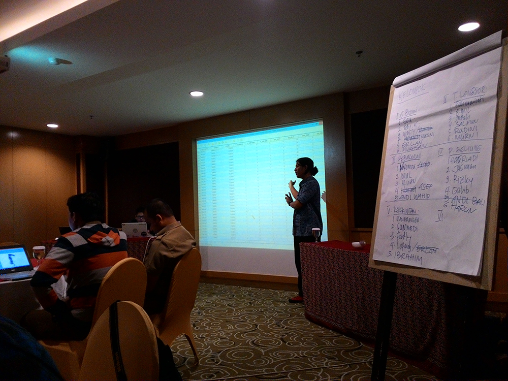
The next activity is the making of risk map for each hazard that started at 16.00 p.m. In order to the making of risk map for all hazard can be completed at one time, then the participants were divided into 5 groups. The following activity take place until 06.00 p.m and every group successfully completed their risk map.
The last day of this activity begins at 09.30 a.m , the first material is the making of flood risk map by all the groups. This activity held for two hours until 11.30 a.m then continued by Fredy Chandra from RnV – AIFDR. Afterwards, the participants calculate some variables contained in each risk zone. The risk variables are used include the people affected, the building affected, the settlement affected, and the land use affected.
For the calculation of risk valuation in people and building affected, the participants use InaSAFE while for the other variables, participants use overlay method between hazard data with each variable and calculate in Ms Excel (Pivot Table) then generate the exposure data in each hazard zone. This activity held until 03.00 p.m continued with map layout material who presented by Ranie from HOT until 05.30 p.m. The last session in the last day was a discussion about technical policy and administrative policy that should be done as a follow up from this activity in the future where the participants discussed into two groups and presented to all participants.