15 Nov
InaSAFE 5.0 is released
We are pleased to announce that version 5.0.0 (supporting QGIS 3.0) is released.
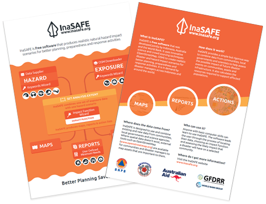
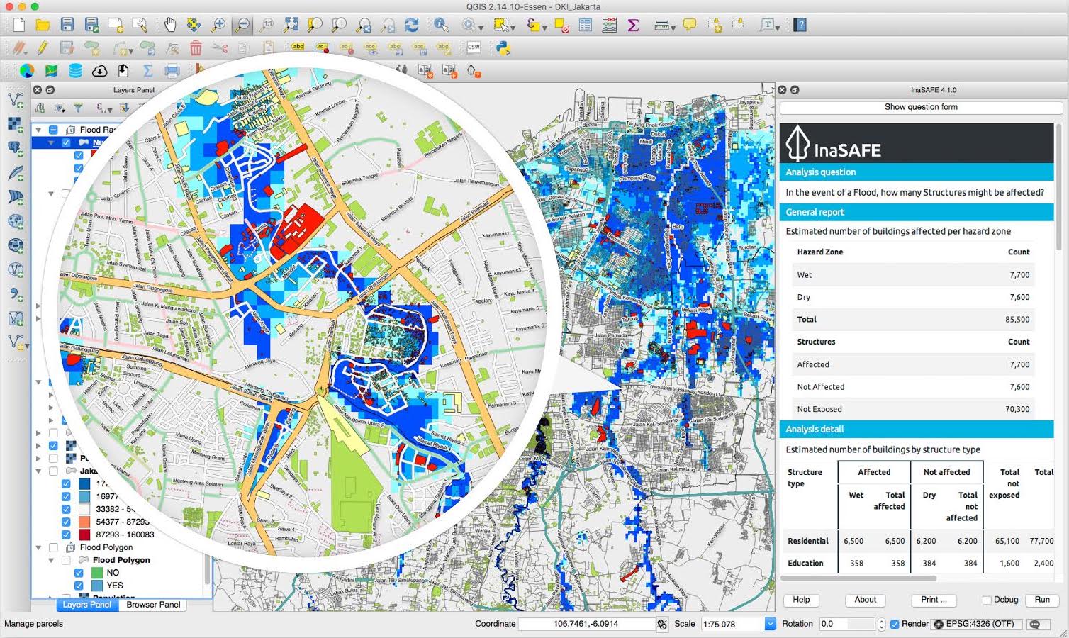
InaSAFE is free software that produces realistic natural hazard impact scenarios for better planning, preparedness and response activities. It provides a simple but rigorous way to combine data from scientists, local governments and communities to provide insights into the likely impacts of future disaster events.
InaSAFE is free software that was developed jointly by Indonesia (BNPB), Australia (Australian Government) and the World Bank (GFDRR).
InaSAFE is a Free and Open Source Software (FOSS) project, published under the GPL V3 license. As such you may freely download, share and (if you like) modify the software.
15 Nov
We are pleased to announce that version 5.0.0 (supporting QGIS 3.0) is released.
3 Jun
We are pleased to announce that InaSAFE 4.4 is released!
13 Jun
We are pleased to announce that InaSAFE 4.1 is released!
22 Mar
We are pleased to announce that InaSAFE 4.0 is now available.
12 Oct
5 Oct
Team members behind the InaSAFE project will be holding a side event at Understanding Risk 2016. The side event is to be held on the 17th of May 2016 in Venice, Italy. Please come and join us if you can! You can find out more about the event here.
2 Apr
Do you want to help find new and interesting ways to use open data for flood emergency planning and response? Floodhack 2016 is a cross disciplinary event for disaster managers, GIS professionals, developers, open data experts, data journalists, designers and communicators; in fact anyone who can meaningfully participate. Help us to find new and interesting uses for data used to plan and respond to emergencies, to stimulate new approaches to solving problems using public data, and to promote the use of open data to improve civil society.
November 13th–19th is celebrated annually as Geography Awareness Week. Also known as OSMGeoWeek , it aims to foster awareness in geography, … Continued
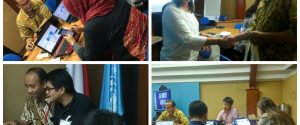
On Tuesday, 7th June 2016 , Disaster Management Innovation ( DMInnovation ) and the Humanitarian OpenStreetMap Team ( HOT ) … Continued

Over the 2nd and 3rd of April, 2016 we held a flood hackfest event (referred to on social media as #floodhack2016 ). The goal … Continued
This is a two minute view which introduces the main concepts of InaSAFE
The video above provides a short introduction to InaSAFE.
Dr. Trevor Dhu demonstrating InaSAFE to Indonesian President Susilo Bambang Yudhoyono at the 5th Asian Ministerial Conference on Disaster Risk Reduction held in Yogyakarta, Indonesia, October 2012.
